Calusa Blueway: A Visitor's Guide to Paddling
A mangrove creek can feel wonderfully quiet, but getting there takes more planning than a beach walk. The Calusa Blueway gives you access to Southwest Florida's coastal waters, islands, and river tributaries through a mapped paddling network.
For a first visit, choose a manageable route near your accommodations rather than an ambitious crossing. Your launch, tide, and return plan matter more than how many miles you cover.
Start by matching the trail's three regions to the kind of morning you want.
Key Takeaways
- The Great Calusa Blueway covers 190 miles, but visitors usually explore one small section rather than follow a continuous route.
- Choose your launch before booking equipment, then confirm parking, access, rental arrangements, and current conditions.
- Low tides, wind, boat traffic, and thunderstorms can change an otherwise straightforward paddle.
- Bring your own water and safety supplies, respect wildlife, and leave enough flexibility for a comfortable return.
Find Your Part of the Calusa Blueway
Lee County's Great Calusa Blueway information describes a 190-mile marked trail through coastal waters and inland tributaries. Its three phases help you narrow the search.
Here's how the mapped regions compare.
| Trail phase | Main area | Planning focus |
|---|---|---|
| Phase 1 | Estero Bay | Tidal waterways, mangroves, and coastal access |
| Phase 2 | Pine Island Sound | Island shorelines, sheltered backwaters, and exposed crossings |
| Phase 3 | Caloosahatchee River and tributaries | River routes, tributary exploration, and boat traffic |
Each region contains different conditions, so choose the individual route rather than assuming an entire phase suits beginners.
Stay near your vacation base
If you're staying around Estero or Fort Myers Beach, begin with Estero Bay options. Cape Coral, Matlacha, and Pine Island visitors can investigate nearby sound-side launches.
Meanwhile, the Caloosahatchee region offers river and tributary possibilities around North Fort Myers, Buckingham, and Alva. A shorter drive leaves more time for equipment fitting, checking conditions, and enjoying the water.
Treat the map as a network
The Blueway isn't one continuous waterway with a single starting point. It connects many possible outings, including short return trips and longer routes.
Visit Fort Myers' trail planning details identify more than 40 marked launch sites. That variety gives you choices, but it doesn't make every destination an easy paddle. Open-water crossings require different skills than sheltered creeks.
Choose a Launch That Fits Your Day
A recognizable park name is only the beginning. You also need to know where paddlecraft enter the water and how you'll get back.
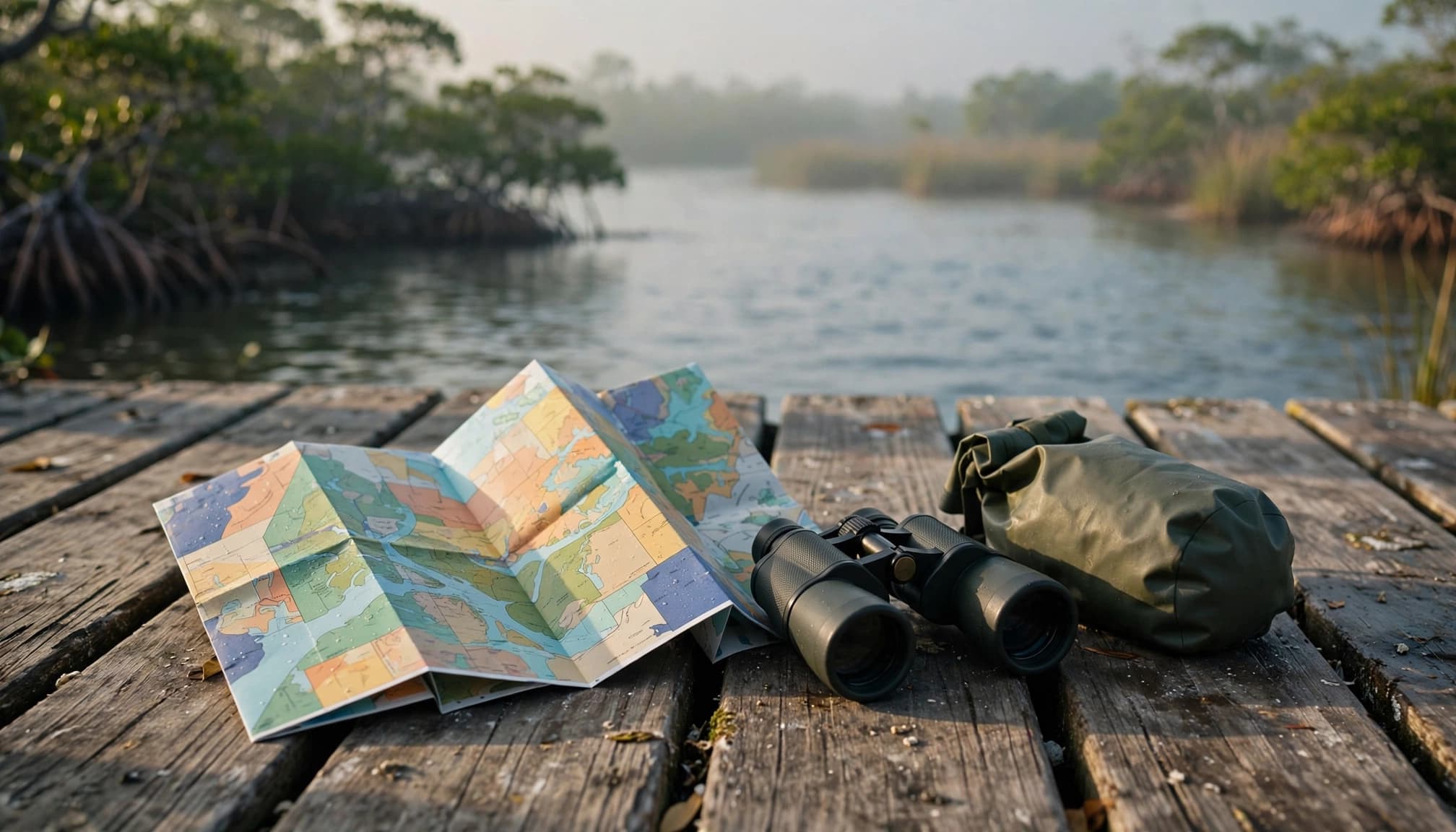
Read the official map before driving
The county's paddling map and safety notes include GPS coordinates, facility information, and launch details. They distinguish launch sites from paddlecraft landings, which aren't interchangeable when planning vehicle access.
Bunche Beach provides access to mangrove waterways connected to the trail. The Orange River and Manatee Park area are other possibilities to investigate. However, check the exact entry point, operating schedule, and current access before building your day around either.
Save the route offline and carry a paper backup. Mangrove channels can look similar, especially when you're returning from the opposite direction.
Confirm equipment, parking, and facilities
If you're renting, ask whether you'll launch at the rental location or transport the boat elsewhere. Also confirm the return deadline, included safety equipment, and whether staff recommend your route for that day's conditions.
Lee County's public boat-ramp directory lists free admission at its ramps, with parking charges varying by site and costing $10 or less per day. That isn't a universal price for every Blueway access point.
Finally, check restrooms, drinking water, walking distance to the launch, and the surface you'll cross carrying equipment.
Match Your Route to Tides and Weather
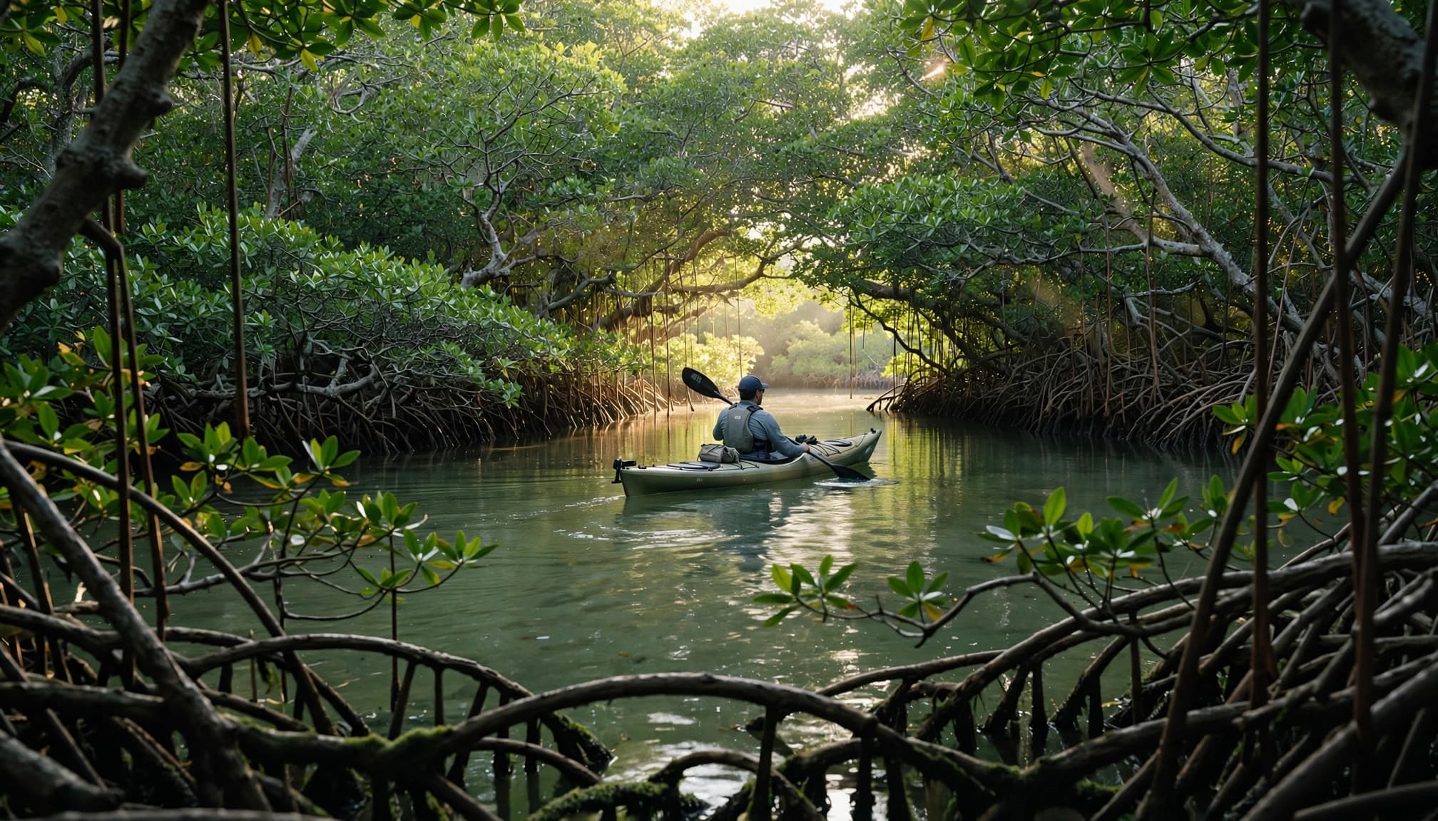
A sheltered creek may suit a relaxed outing, but its depth and current still change. Plan around the water you'll encounter throughout the trip.
Check the tide for your specific route
Lee County warns that extreme low tide can make parts of the trail inaccessible. Shallow flats, oyster bars, and muddy landings can become obstacles even when the launch itself looks usable.
Ask a knowledgeable local operator which tide window suits your intended route. Also consider the return, because conditions may differ several hours later.
Passes deserve extra caution because currents can be strong. For a first outing, avoid routes that depend on negotiating a pass or completing a long exposed crossing.
A usable launch doesn't guarantee a usable route. Check the shallowest section and your return landing against the expected tide.
Let wind and storms set the schedule
Wind direction affects effort as much as distance. A comfortable outward paddle can become tiring when you return into a headwind.
October through May generally offers more comfortable temperatures than summer, but conditions still vary. During warmer months, heat and thunderstorms demand extra attention.
Check the forecast shortly before departure, then keep watching the sky. Postpone if strong wind, thunderstorms, or rough water threaten the route. An early start can improve comfort, but morning light isn't a safety guarantee.
Pack for Safety Before You Push Off
Wear your life jacket throughout the paddle. Choose equipment that fits each person and a boat suited to the route.
Before leaving shore, make sure everyone knows what to do if a kayak capsizes. If your group lacks those skills, a guided outing on an appropriate route is a better starting point than an independent crossing.
Pack these essentials where you can reach them:
- Carry drinking water and snacks for the full outing, with extra for delays.
- Keep your phone, route map, and identification protected in a dry bag.
- Bring sun protection, insect repellent, a whistle, and a small first-aid kit.
- Wear footwear suitable for slippery launches, mud, shells, and uneven landings.
Paddle with a companion when possible. Tell someone on land your launch location, intended route, and expected return time. Don't rely entirely on cell service.
In busy channels, watch for powerboats and avoid lingering in their path. County guidance advises keeping right and turning your bow into wakes.
For families, match the plan to the least experienced paddler. Ask rental staff about child-sized life jackets and appropriate boat arrangements. A tandem kayak still requires coordination and a realistic return plan.
Watch Wildlife Without Crowding It
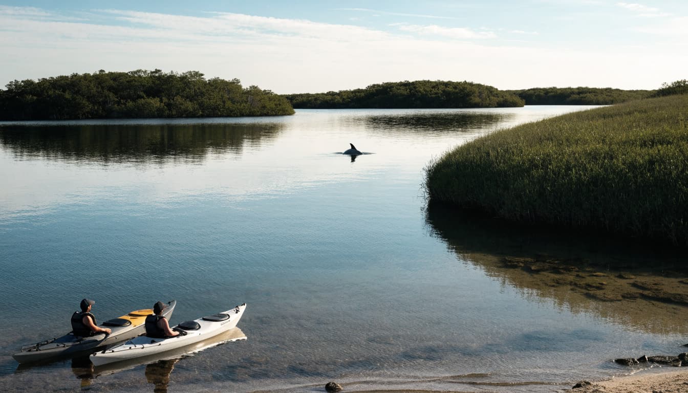
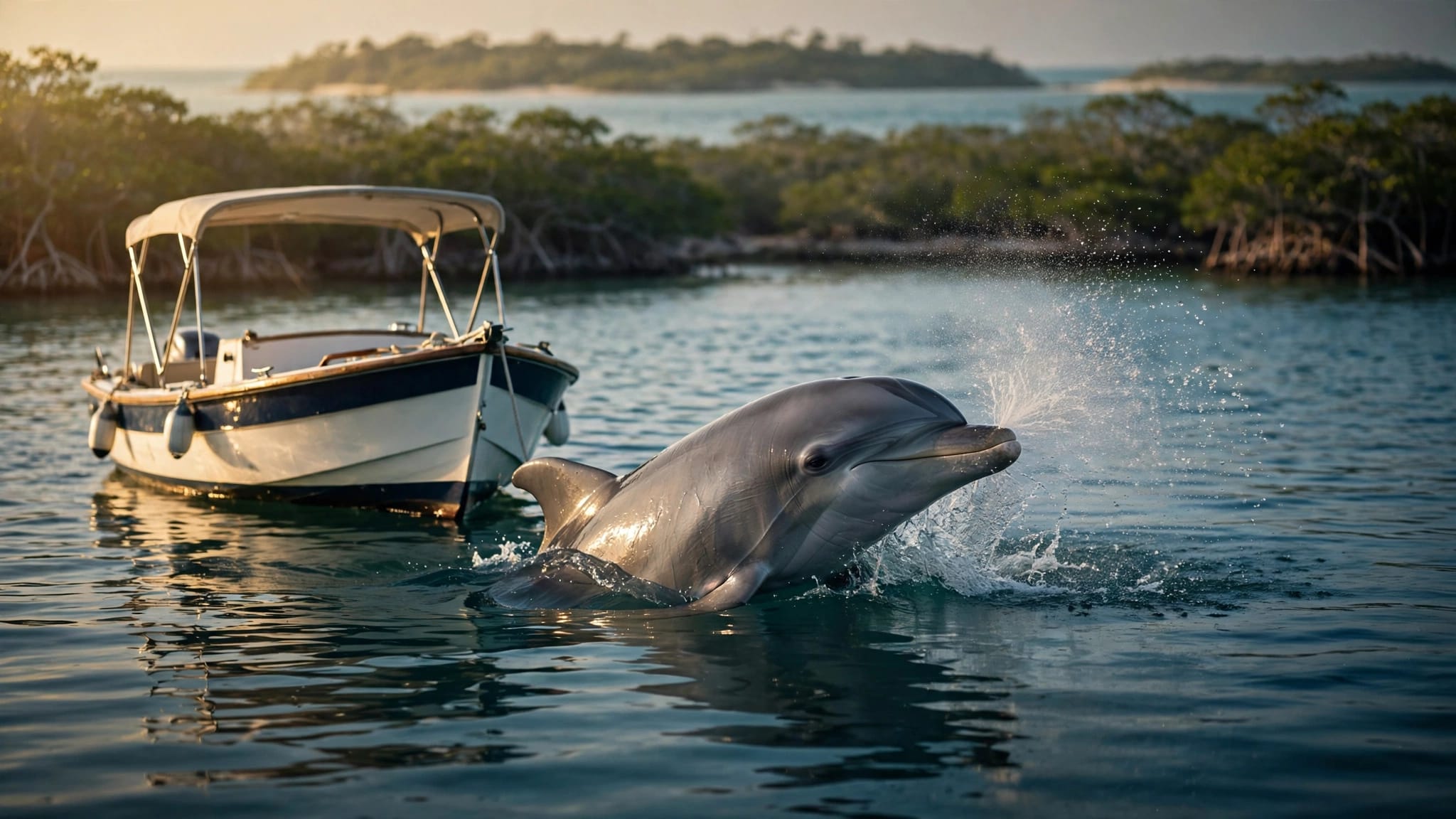
Mangrove edges and shallow estuary waters offer opportunities to watch wading birds, dolphins, and manatees. Sightings depend on habitat, weather, and timing, so treat them as a possibility rather than a promised attraction.
Slow down when wildlife appears. Give animals room to travel and surface, and never chase, feed, touch, or surround them. With children, explain those expectations before launching.
Similarly, avoid dragging boats across seagrass or pushing through mangrove roots. Use established access points and leave shorelines as you found them.
If your Estero Bay plans include Mound Key, prepare for a boat-access archaeological site rather than a developed marina stop. Landings and uneven ground require suitable footwear and extra time.
Stay on existing paths there. Don't move shells, disturb exposed artifacts, or climb fragile mound edges. The island's Calusa history adds meaning to a visit, but reaching it safely requires a suitable route, enough supplies, and a planned return.
Build a Relaxed Half-Day Around the Paddle
A paddling morning works best when the rest of your itinerary leaves room for delays. Avoid attaching a tight lunch reservation or airport departure to your expected landing time.
Leave space before and after launching
Allow time to find parking, use the restroom, fit equipment, and listen to launch instructions. Those tasks take longer with children or a larger group.
For your first outing, choose a route you can shorten without creating a transportation problem. An out-and-back plan can simplify logistics, although wind and currents still affect the return.
Afterward, leave time to rinse off, change clothes, and eat. If conditions deteriorate, a shorter paddle or a shore-based wildlife stop can preserve the day without forcing the original plan.
Keep routine errands outside your adventure
Groceries, household supplies, and restaurant pickups can consume the hours you intended to spend outdoors. For visitors and locals, 1st Class Delivery offers a VIP convenience for enjoying vacation or daily life without running errands.
Its delivery and errand services include shopping, food pickup, pharmacy errands, and airport transportation. Confirm your exact pickup and drop-off locations, timing, and availability before booking.
Arrange those services separately from kayak rentals and park access. The company isn't affiliated with the trail, and delivery support doesn't replace your paddling preparations.
Frequently Asked Questions
Is the Calusa Blueway suitable for beginners?
Some sheltered routes can suit beginners, but the entire network doesn't share one difficulty level. Wind, tides, current, and boat traffic change the demands. Tell rental staff about your experience and ask for a short route appropriate to the day's conditions. A guided trip is useful when you're unfamiliar with coastal paddling.
Do you need to paddle all 190 miles?
No. Most visitors choose a small portion of the network for a morning or half-day outing. Start with a convenient launch, then select a destination or turnaround point. Longer trips require more preparation, including equipment, transportation, supplies, and knowledge of the waters you'll cross.
Can you arrive without reserving a kayak?
Don't assume equipment will be available. Rental schedules, seasonal operations, group sizes, and weather can affect availability. Contact the operator before traveling and ask about reservations, cancellation terms, and launch arrangements. If you're bringing your own kayak, you still need to verify access, parking, and conditions at your chosen site.
Make Your First Paddle a Comfortable One
The Calusa Blueway rewards a modest plan: a suitable launch, a clear route, and enough time to return comfortably. A short paddle through mangroves can deliver the quiet you came for without a demanding crossing.
Check access and conditions before leaving, pack for self-sufficiency, and keep flexibility in your schedule. With the practical details handled, you can give Southwest Florida's waterways your full attention.